Areas of Operation in Balangir District
State: Odisha
District: Balangir
Peoples Organisation (Lok Unnati Sangathan)
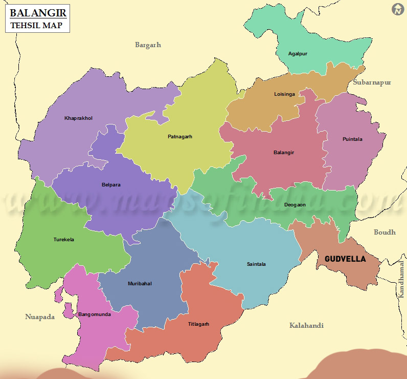
Balangir District Map
Distirct Profile
Named after the headquarter town of Balangir, this district was formed on 1st November 1949. It is flanked in the northwest by the Gandhamardan hill.
The economy of the Balangir District is basically agrarian. The tourism industry of Balangir District also contributes to its economy.
The predominant soil groups found in the Balangir District are red, mixed red, black and alluvial soils. Balangir District has a number of educational institutions, which provide a great platform for education in the field of engineering, arts and social science, law, commerce, medical science, journalism etc. The District celebrates many festivals with great enthusiasm. Sital Sasthi, Nuakhai, Bhaijiuntia, Puajiuntia, Shiv Ratri Mela, Patakhanda jatra, Sharabana Purnima are the famous festivals being celebrated here. Among the few notable personalities of the District, Shri Rajendra Narayan Singh Deo gets a prominent place, as the former chief minister of Odisha.
Atmashakti started its intervention in November, 2016.
| BALANGIR DISTRICT PROFILE | |
| ADMINISTRATIVE SETUP | |
| Area | 6575sq.km |
| Blocks | 14 |
| Tahsils | 14 |
| Gram Panchayat | 317 |
| Villages | 1,783 |
| Rural/Urban Ratio | 88.03/11.97 |
| DEMOGRAPHY | |
| Population | 1,648,997 |
| Sex Ratio | 987 |
| Children (age 0 to 6 years) | 2,16,320 |
| Average Family Size | 5 |
| No of Aganwadi’s Centre | 226 |
| No of Primary Health Centres / Sub centres | 42/226 |
| Infant Mortality Rate Per Thousand | 45 |
| Maternal Materiality rate Per Lakh | 198 |
| Literacy | 56.23 |
| ECONOMY | |
| HDI | 0.456 |
| GDP | 28.17 |
| Per capita Income Rs | |
| Forest Cover | 1543.85 sq. km |
| Industrial Units | graphite mines, quartz mines, small of cottage and handloom |
| Irrigated Area | 345475 hect |
| Affected by Left Wing Extremism | Yes, Medium |
| MGNREGA DATA (2020-21) | |
| No. of Families who got work | 32218 |
| Average No. of Days | 59.99 |