Areas of Operation in Nabrangpur District
State: Odisha
District: Nabrangpur
Peoples Organisation (Jan Jagarana Manch)
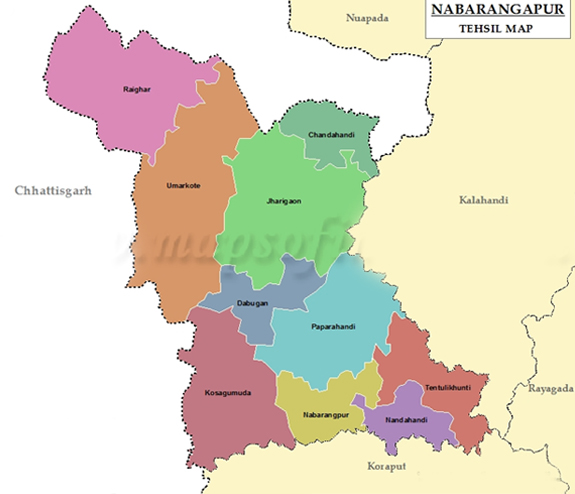
Nabrangpur District Map
Atmashakti started its intervention in the district in November 2019.
| ADMINISTRATIVE SETUP | |
| Area | 5294.00 Sq. Km. |
| Blocks | 10 |
| Gram Panchayats | 189 |
| Villages | 980 |
| DEMOGRAPHY | |
| Population | 1220946 |
| Sex Ratio | 1018 |
| Children (age 0 to 6 years) | 207911 |
| Average Family Size | 4 |
| No of Anganwadi’s Centre / Mini AWC’s | |
| No of Primary Health Centres / Sub centres | 39/1 |
| Literacy | 38.53 |
| ECONOMY | |
| HDI | 0.14 |
| GDP | |
| Per capita Income Rs | 14,700 |
| Forest Cover | 1583.40 Sq. Km. |
| Irrigated Area | 8454 Hact. |
| MGNREGA DATA (2020-21) | |
| No. of Families who got work | 8050 |
| Average No. of Days | 54.35 |