Areas of Operation in Deogarh District
State: Odisha
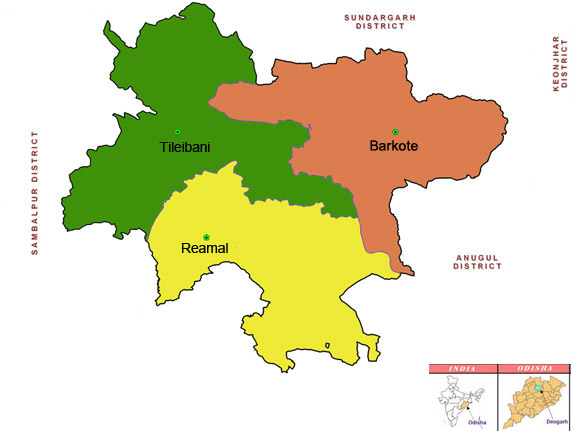
District : Deogarh
Peoples Organisation (Jan Sangathan)
Mahila Jan Kalyan Sangathan
Deogarh District Map
Distirct Profile
Deogarh has the lowest population of three lacs people in three blocks and 60 pachyats. It is one of the most backward district. Domiciled by ST Tribes. As it is an industry less distirict the people soley depend upon agriculture. The district experience very hot summer from March to May with temperatures upto 470 C, heavy monsoon rains from June to September and cool dry winters from October to February.
Atmashakti Intervention : June 2011
| ADMINISTRATIVE SETUP | |
| Area | 2,781.66 sq km |
| Forest Area | 1560.22 |
| Blocks | 3 |
| Panchayats | 70 |
| Villages | 725 |
| Rural/Urban Ratio | 92.84/7.10 |
| DEMOGRAPHY | |
| Population | 3,12,164 |
| Sex Ratio (females 1000 per males) | 975 |
| Children (0 – 6 years) | 39,917 |
| Average Family Size | 5 |
| No of Aganwadis Centers/ Mini AWC’s | |
| No of Primary Health Centers/ CHC | 7/4 |
| Infant Mortality Rate | 49 |
| Literacy | 72.57 |
| ECONOMY | |
| HDI | |
| GDP | |
| Percapita Income Rs | |
| Per capita-state | |
| Forest Cover | 1,560 sq km |
| Industrial Units | None |
| Irrigated Area | 16,031 Hect. |
| Affected by Left Wing Extremism | YES, Minamally |
| MGNREGA DATA (2020-21) | |
| No. of Families who got work | 4183 |
| Average No. of Days | 47.55 |