Areas of Operation in Gajapati District
State: Odisha
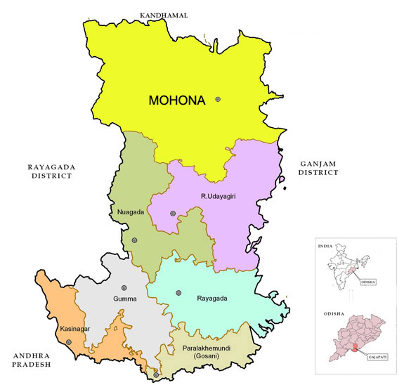
District : Gajapati
Peoples’ Organisation (Jan Sangathan)
Shramjeebi Ekta Abhijan (SEA)
Gajapati District Map
District Profile
The Gajpati distirct was a part or sub-division of Ganjam District. The major part of district belongs to hilly terrain and undulated topography, which is inhabited by tribals. It has substantial percentage of population which are backward particularly Scheduled Tribes. The economy of the district is mainly dependent upon cultivation. Out of each 100 workers in the district 78 are engaged in agricultural sector. One of the main and oldest tribe is Saora.
Atmashakti Intervention: September 2011
| ADMINISTRATIVE SETUP | |
| Area | 3,850 sq km |
| Blocks | 7 |
| Panchayats | 129 |
| Villages | 1,534 |
| Rural/Urban Ratio | 87.7/11.3 |
| DEMOGRAPHY | |
| Population | 577,817 |
| Sex Ratio | 1,043 |
| Children (age 0 to 6 years) | 86,984 |
| Average Family Size | 5 |
| No of Aganwadi’s Centre / Mini AWC’s | 1442/924 |
| No of Primary Health Centres / Sub Center | 21/136 |
| Infant Mortality Rate | 145 |
| Maternal Materiality rate | 335 |
| Literacy | 45.44 |
| ECONOMY | |
| HDI | 0.431 |
| GDP | 0.401 |
| Percapita Income Rs | |
| Per capita-state | 5,200 |
| Forest Cover | 2,287.59 sq km |
| Irrigated Area | 77,335 HA |
| Affected by Left Wing Extremism | YES, Moderate |
| MGNREGA DATA (2020-21) | |
| No. of Families who got work | 11063 |
| Average No. of Days | 62.19 |