Areas of Operation in Kandhamal District
State: Odisha
District: Kandhamal
Peoples’ Organization (Jan Sangathan)
Jeebika Suraksha Manch (JSM)
& Mahila Jeebika Suraksha Manch(MJSM)
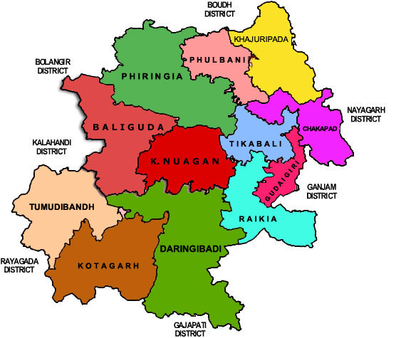
Kandhamal District Map
District Profile
The Kandamal district is bestowed with the beauty of nature. It has wild life, scenic beauty, healthy climate and serpentine ghat roads for the tourists who need to relax and unwind. It has attractions, like panoramic views, ghats, hills, waterfalls, virgin forest and towering mountains which provide shelter and sustenance to the inhabitants mainly kondha tribals. The district is ranked as a backward district in the state of Odisha. There is no industry, but there are plans to start mining in some areas. The district acquired notoriety in 2008 when communal riots engulfed the christian and Non Christian tribals.
Atmashakti Intervention: August 2009
| ADMINISTRATIVE SETUP | |
| Area | 8021sq km |
| Blocks | 12 |
| Panchayats | 171 |
| Villages | 2,515 |
| Rural/Urban Ratio | 6.71/5.93 |
| DEMOGRAPHY | |
| Population | 7,33,110 |
| Sex Ratio | 1,037 |
| Children (age 0 to 6 years) | 109,709 |
| Average Family Size | 5 |
| No of Aganwadi’s Centre / Mini AWC’s | |
| No of CHC & Primary Health Centers | 12/36 |
| Infant Mortality Rate | 86 |
| Maternal Materiality rate | 297.00 |
| Literacy | 64.13 |
| ECONOMY | |
| HDI | |
| GDP | |
| Per capita Income Rs | |
| Per capita-state | 5,200 |
| Forest Cover | 5397.01 sq km |
| Industrial Units | None |
| Irrigated Area | 254.62 sq km |
| Affected by Left Wing Extremism | Yes, High |
| MGNREGA DATA (2020-21) | |
| No. of Families who got work | 114195 |
| Average No. of Days | 70.23 |