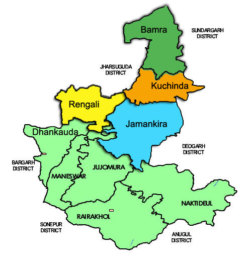
District Profile
Sambalpur district has a rich and developed cultutal heritage. The district has an extreme type of climate with summer temperatures soaring above 46 C for days on end. The economy of the district is basically dependent on agriculture and secondly on forest produce. In the past ten years there has been considerable industrialisation around Rengali. Sambalpur is also home to one of India’s early large dams – the Hirakund Dam which came into existence in the 1950’s and is still a major source of irrigation. The district experiences many beautiful festivals around the year with Nuakhai being the most important social festival of the district.
Atmashakti Intervention: August 2009
| ADMINISTRATIVE SETUP | |
| Area | 6,702 sq km |
| Blocks | 9 |
| Panchayats | 138 |
| Revenue Villages | 1,349 |
| Rural/Urban Ratio | 70.41/29.59 |
| DEMOGRAPHY | |
| Population | 1,041,099 |
| Sex Ratio |
976 |
| Children (age 0 to 6 years) | 112,946 |
| Average Family Size | 5 |
| No of Aganwadi’s Centre / Mini AWC’s | |
| No of Primary Health Centers / CHC | 31/11 |
| Infant Mortality Rate | 102 |
| Maternal Moterality rate | 303 |
| Literacy | 76.91 |
| ECONOMY | |
| HDI | |
| GDP | |
| Percapita Income Rs | |
| Per capita-state | |
| Forest Cover | 3,363.30 sq km |
| Industrial Units | Steel & Power plants. |
| Irrigated Area | |
| Affected by Left Wing Extremism | YES, Low |
| MGNREGA DATA (2020-21) | |
| No. of Families who got work in Working Panchayats | 10016 |
| Average Man days | 62.81 |

